Thursday, June 6, 2013

McKenzie River up to Sisters


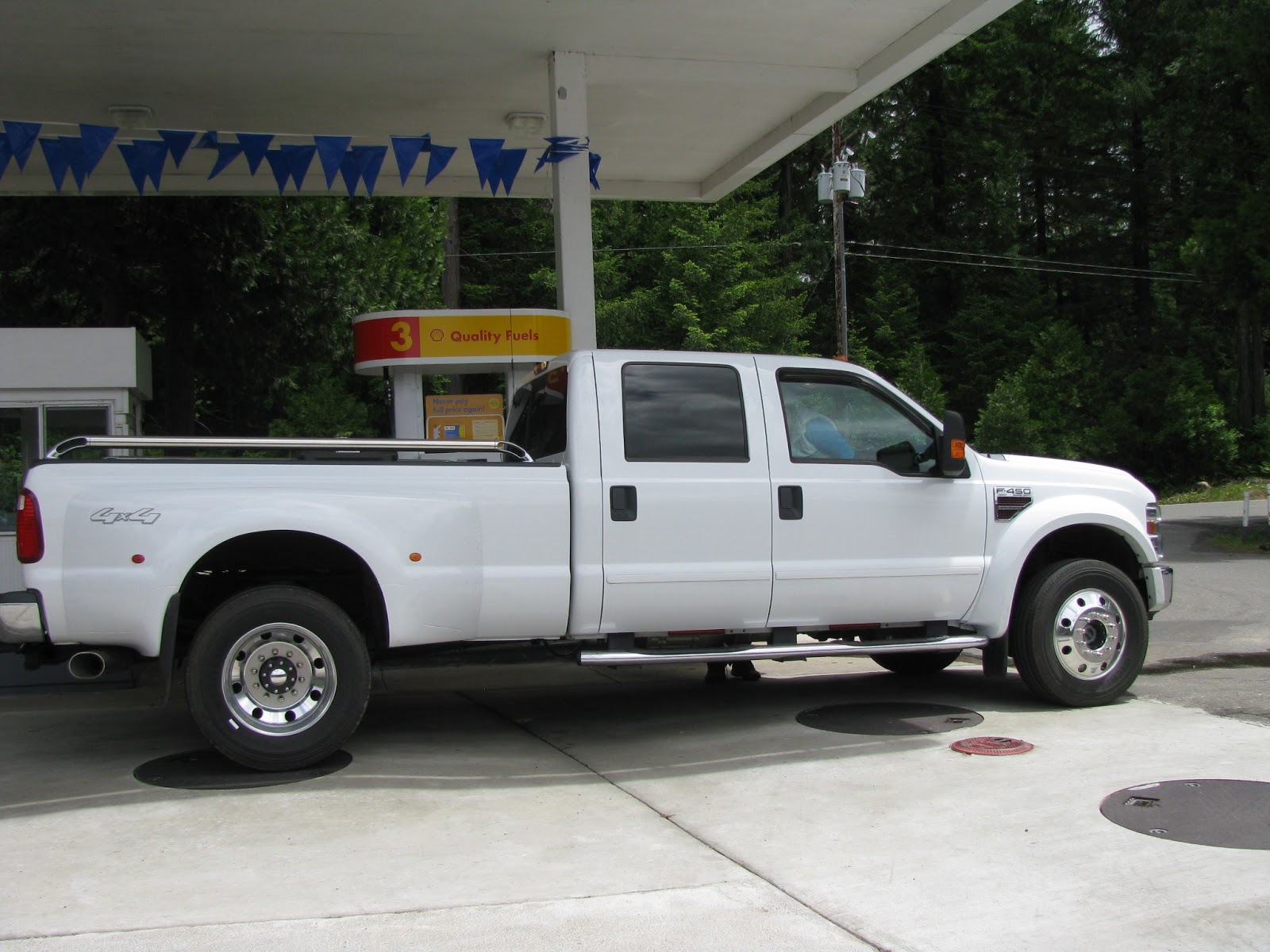
Before driving further into the Cascade Mountains we stopped at Harbick's for gas. The current customers represented life here along the river. A biker camper from British Columbia filled up his bike. A local mower needed refueling. Pick-up trucks provide transportation for  many residents. Then there was the horse trailer of Whitney Richey, Rodeo Queen 2013 in Sisters.


Our next outing took us further east along highway 126 bypassing the turnoff to scenic Hwy 242 .


We parked at the Sahalie Falls parking lot and walked down to the falls. A set of three spectacular falls move the McKenzie River at this point. Sahalie Falls drops 120 feet and were formed by a second lava flow 3000 years ago. The falls push 452 cubic feet of water per second.


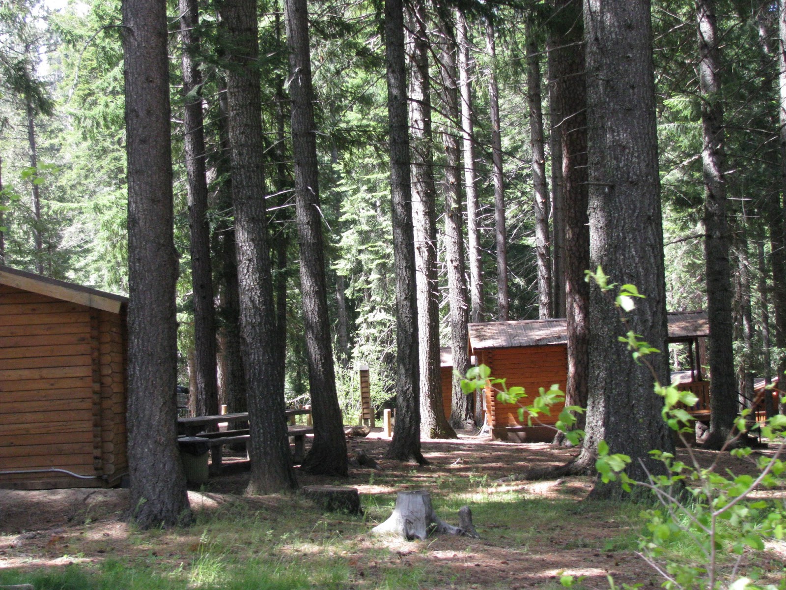
The sign to Clear Lake took us down a steep narrow road. The lake took on a spectacular green color near the lodge end of the lake. Several small rental cabins supplied lodging for the fisher people who come here.


To our surprise we passed a large stretch of lava beds. These look just like the ones around California's Lassen National Park and the ones in New Mexico's El Malpais National Park.


As we rose in elevation, snow reappeared. We noticed the remains of a forest fire.


Evidence of the reforestation showed up in some sections.  A fire kiosk told the story. We were looking at the largest forest fire in Deschutes history. At one point it burned 10,000 acres a day. Eventually it consumed 90,000 acres of private, state, National Forest and tribal land. It deployed 2400 firefighters, cost $38,000 to suppress, used up enough timber for 30,000 homes and killed most of the trees on half the area burned.


The Hoo-Doo ski resort sat atop a snow covered mountain. The McKenzie River Rec Area attracts people for both winter and summer activities.  Several sno-parks are available for winter visitors.


I found it interesting to learn that the historic fire patterns differ depending on which side of the mountains you inhabit.  On the eastern side, the Ponderosa pine reigns as the dominant tree. The fires there occur at short intervals of 5-25 years. The fire burns as low intensity surface fires where few mature trees are burned. After the fire large open park like stands remain.  On the west side of the Cascades, the Douglas fir ranks as the dominant tree. Fires only happen at long intervals, 100-250 years.  The fires burn at high intensity on the surface and in the tree crowns. Fire kills most of the trees including the mature ones. A new forest stands starts after a fire.


For years foresters tried to suppress fires. Now they know the forest needs fire to clean out the underbrush, and to make some species like the sequoia and Lodgepole pine sustain themselves. Fire patterns have changed because the amount of fuel has increased. This increase of fuel has also created uncharacteristically intense wildfires.  The fuel increase because of the foresters efforts to suppress fire, thus allowing for more underbrush, poor harvesting methods including taking out all the mature trees, and inadequate thinning which causes tree to become susceptible to disease, insects and fire.
Forestry has changed. Thinning the forests helps maintain a healthier forest. I had a before thinning photo off the reader board too, but it wouldn't insert itself into the blog.


Santiam Pass summit sits at an elevation of 4817 feet. Also in this area are signs for the Pacific Crest Trail.  You go hikers! I wouldn't want to be walking through these woods.


Next stop Suttle Lake


 The resort featured a large beautiful lodge with cabins.


 A couple of big houses were also on the grounds. Really large Canadian Geese roamed the lawns looking for food.


We had spotted sailboats from the highway and  drove into the resort to check them out. We hadn't thought of using this size sailboat on a lake, but the lake is big and had white caps the day we visited. Entering or exiting the resort required passage on a one lane bridge. When a little truck barreled down the hill and didn't look like it was going to stop, we paused on the bridge and held our breath.


Sisters Oregon, population about 2,000 proved to be an interesting little town. The whole town maintains a western frontier town motif.  Everything looks fresh and inviting.


This store that carries wind toys caught my attention, as did the bronze horse at the east entrance to town. If I were a shopper, Sisters offers lots of interesting shops to explore. I think Sisters would be a great destination for a little holiday.


We lunched at the Old-Fashioned Sno-Cap Drive In, which wasn't really a drive-in now. This small establishment featured 6 tables for inside diners and more tables outside. The aisle between the booths and the counter had enough room for 1 1/2 people. Streams of people continually came in the front door, ordered, and went out the exit-only the back door.  We enjoyed their burgers, and also tasted their homemade ice cream. While dining, a busload of kids returning home from a four day outdoor education event stopped by and got ice cream for everyone. One lady paid the tab. The restrooms were porta-potties located out the back door.


Headed west going home on this Friday afternoon the line of traffic into Sisters or going on to Bend stayed bumper to bumper for miles down the highway. What a lot of traffic.


We traveled back down the tree lined highway,  passing the Carmen Diversion Reservoir.


We stopped at a pull out along the river and learned of the  26-mile McKenzie River Trail, of which 10 miles is accessible year round.

Then we returned home pleased with today's adventures.


Mckenzie River day 1


The McKenzie River flows out of the Cascade Mountains and along Hwy.126 toward I-5. The McKenzie flows into the Willamette River, which takes the water to the Columbia River and then to the Pacific Ocean. The McKenzie highway crosses a multitude of creeks that feed the McKenzie River. The McKenzie River Recreation Area lies about an hour east of Eugene Oregon.  We met fellow travelers along the coast last year who raved about this area. So we decided to check it out.


After the sequoias we spent three lovely days in 80 degree weather  at our favorite RV park in Redding CA. We saw a couple of deer and a jack rabbit in the park.


The weather forecast expected snow in the mountains on Tuesday so we left California on Monday.
Winding through the Siskiyou Mountains on a sunny day, offers one beautiful sight after another. Shasta Lake sparkled in the sunshine.


 Mount Shasta's snow covered peak showed itself every chance it could.


Of course there was road work. This photo is fuzzy but the beautiful purple in the roadway is rebar for the new concrete surface.


The quiet country side of the mountain ridge always makes me wonder "who chooses to live up here"?


484 493
We descend the  Siskiyous and enter Oregon.


We passed this boat being transported. Was I ever surprised to see it haled from Bremerton!
Once we got over the Siskiyou mountains and mountains of southern Oregon, we stopped along the Willamette River for one night.


As predicted a great storm blew in on Tuesday dropping torrents of rain and we headed for the McKenzie River Area.


You know you are back in the NW with the rain, 
                                                                logging trucks,


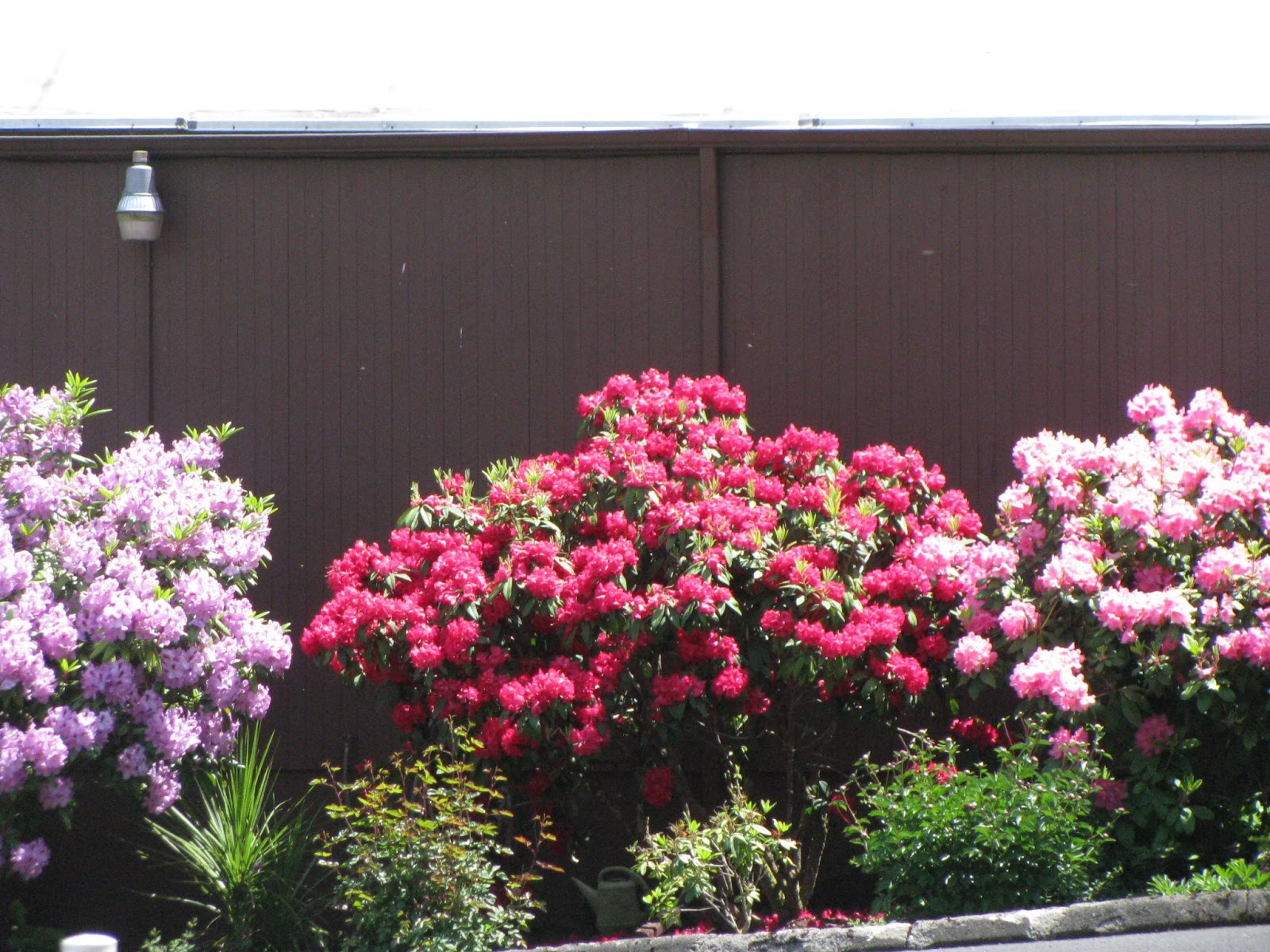
 the rhodies,


 the Christmas trees,


                                               the prickly Oregon Grape,


 and a road worker wearing shorts in the rain.  


 For all of you with allergies or asthma we have the Scotch Broom.


Then there is the moss....how well we remember the battle every year with moss on the roof and moss in the lawn!


Almost to our destination traffic came to an all out stop.  Apparently a tree had fallen across the road. We waited about 30 minutes for crews to clear it away.  The large dogs ahead of us entertained us during the wait. They didn't seem to mind the rain.


They each wore a heavy harness. I wondered what kind of work they do. Could they be real sled dogs?  Loved their bushy tails.


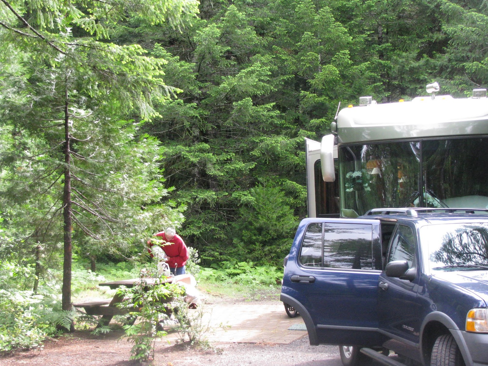
The Holiday Farm RV park officially located in Blue River, OR, is actually closer to Rainbow.   Our roomy site, like the others, was carved out of the forest.  Full size brick pavers formed a nice patio next to the rig.  The rain continued on and off all day.


Derrille woke me up on Wednesday morning to watch the big white flakes fall from the sky and cover the ground.  How pretty! It's been awhile since we have been in snow. The forest sprinkled in white took our breathe away.


By midmorning the snow turned to rain and washed some of the snow away. The sun peeked through and we decided to explore the area.  Further east from the campground, the community of Rainbow offers Harbick's Country Store with gas station, a couple of restaurants, a golf course and a motel. About five miles further east you pass McKenzie Bridge. Although listed on the maps, this blip in the road provides only a small market and a motel.  Continuing eastward the next break in the trees provides space for a good size Ranger Station.


 A few driveway entrances part the trees that line the road and disappear into a dirt path the extend deep into the forest.


A junction in the road offers us a choice of continuing on Hwy. 126 or taking the scenic byway Hwy. 242.  We opt for the scenic route. Large signs tell us that the snow gate is closed at 11 miles in. That's alright, we'll go as far as we can and turn around.

Not far from the junction we come upon a place called Yale Camp. It looks like a place being developed. Signs offered amenities we couldn't see yet. High on the hillside several two and three story structures looked like apts/condos.  Below them a few tightly spaced RV sites were visible.


We continued up the road. Snow clung to the forest and on the edges of the road. As we went up in elevation snow stuck to the road. The higher we went, the deeper the snow.


Soon Derrille was carefully following a single set of tire tracks in the road.

The snow covered forest stood quietly by as we passed. WOW!  The dogwood trees showed their white blossoms here just as in the Sequoia NP.


About nine miles in  Derrille and I begin discussing whether the time had come to turn around. Then a man in a lightweight jacket, waving his arms for us to stop, came walking down the road. Simon, working out of Florida, sells cowboy hats. Of course Eugene and Bend provide good markets for his product.  Hwy 126 connects Eugene and Bend. Simon's GPS told him to leave the main highway and take the scenic route to Bend.  Highway 242 is definitely a shorter route, but it climbs to 5325 feet and is closed in the winter.  Simon must have trusted his GPS and ignored the large warning signs about the snow gate.  Maybe he didn't know what a snow gate meant. At any rate his little rented sedan and slide on the wet snow and dove its nose into the ditch.  We tried to pull him out, but the road was too steep, the corner highly banked and the snow too slippery. Such an endeavor could have endangered us.


Since our car serves as our garage, especially when on the move, Derrille had to clean out a space in the back seat for Simon to sit. We drove him the 9.5 miles back to the junction, and another 10 miles back to the Harbick's Country Store.  We waited with him until the tow truck driver arrived. He was very thankful for our help. Since we saw no one else on the road, he was fortunate that we chose to go for a drive up this road.

If you need something, Harbick's store can probably supply it. They had a deli with seating, ice cream, beverage bar, grocery, hardware, gifts, shirts, cards, housewares, etc. etc.

 RVing continues to be an adventure!