


We parked at the Sahalie Falls parking lot and walked down to the falls. A set of three spectacular falls move the McKenzie River at this point. Sahalie Falls drops 120 feet and were formed by a second lava flow 3000 years ago. The falls push 452 cubic feet of water per second.


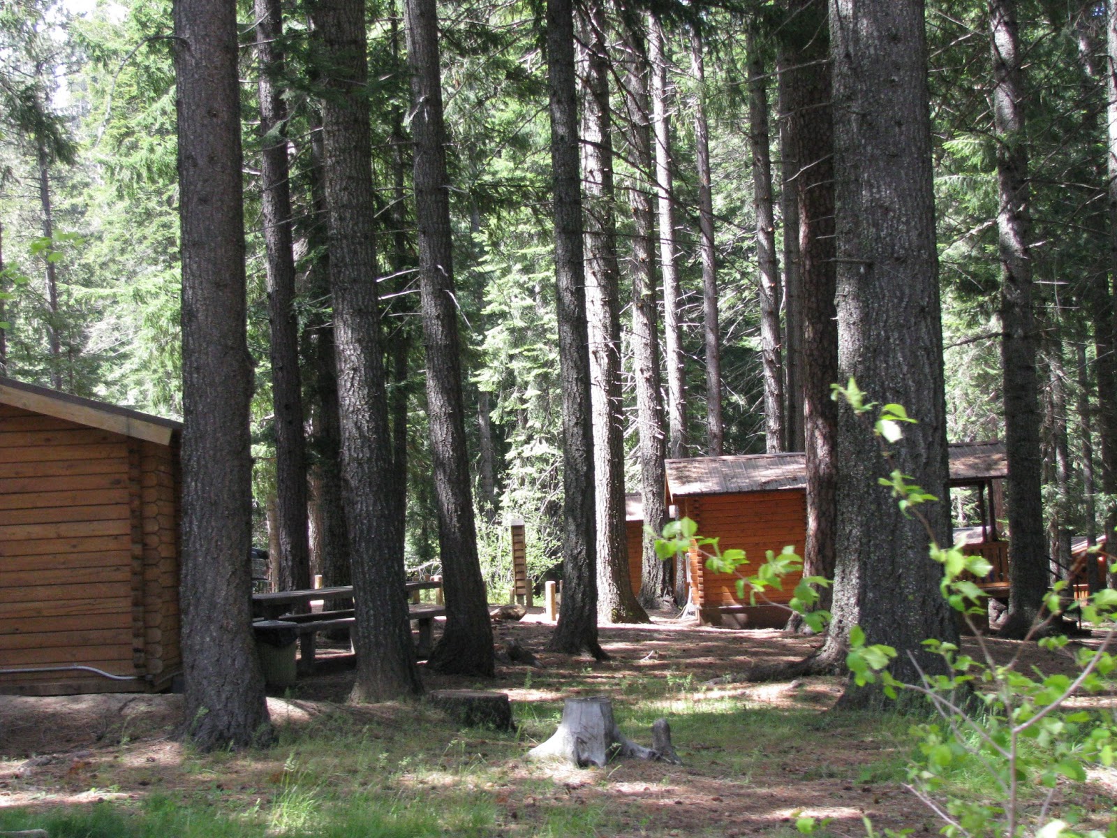
The sign to Clear Lake took us down a steep narrow road. The lake took on a spectacular green color near the lodge end of the lake. Several small rental cabins supplied lodging for the fisher people who come here.


To our surprise we passed a large stretch of lava beds. These look just like the ones around California's Lassen National Park and the ones in New Mexico's El Malpais National Park.


As we rose in elevation, snow reappeared. We noticed the remains of a forest fire.


Evidence of the reforestation showed up in some sections. A fire kiosk told the story. We were looking at the largest forest fire in Deschutes history. At one point it burned 10,000 acres a day. Eventually it consumed 90,000 acres of private, state, National Forest and tribal land. It deployed 2400 firefighters, cost $38,000 to suppress, used up enough timber for 30,000 homes and killed most of the trees on half the area burned.


The Hoo-Doo ski resort sat atop a snow covered mountain. The McKenzie River Rec Area attracts people for both winter and summer activities. Several sno-parks are available for winter visitors.


For years foresters tried to suppress fires. Now they know the forest needs fire to clean out the underbrush, and to make some species like the sequoia and Lodgepole pine sustain themselves. Fire patterns have changed because the amount of fuel has increased. This increase of fuel has also created uncharacteristically intense wildfires. The fuel increase because of the foresters efforts to suppress fire, thus allowing for more underbrush, poor harvesting methods including taking out all the mature trees, and inadequate thinning which causes tree to become susceptible to disease, insects and fire.
Forestry has changed. Thinning the forests helps maintain a healthier forest. I had a before thinning photo off the reader board too, but it wouldn't insert itself into the blog.


Santiam Pass summit sits at an elevation of 4817 feet. Also in this area are signs for the Pacific Crest Trail. You go hikers! I wouldn't want to be walking through these woods.


Next stop Suttle Lake


The resort featured a large beautiful lodge with cabins.


A couple of big houses were also on the grounds. Really large Canadian Geese roamed the lawns looking for food.


We had spotted sailboats from the highway and drove into the resort to check them out. We hadn't thought of using this size sailboat on a lake, but the lake is big and had white caps the day we visited. Entering or exiting the resort required passage on a one lane bridge. When a little truck barreled down the hill and didn't look like it was going to stop, we paused on the bridge and held our breath.


Sisters Oregon, population about 2,000 proved to be an interesting little town. The whole town maintains a western frontier town motif. Everything looks fresh and inviting.


This store that carries wind toys caught my attention, as did the bronze horse at the east entrance to town. If I were a shopper, Sisters offers lots of interesting shops to explore. I think Sisters would be a great destination for a little holiday.


We lunched at the Old-Fashioned Sno-Cap Drive In, which wasn't really a drive-in now. This small establishment featured 6 tables for inside diners and more tables outside. The aisle between the booths and the counter had enough room for 1 1/2 people. Streams of people continually came in the front door, ordered, and went out the exit-only the back door. We enjoyed their burgers, and also tasted their homemade ice cream. While dining, a busload of kids returning home from a four day outdoor education event stopped by and got ice cream for everyone. One lady paid the tab. The restrooms were porta-potties located out the back door.


Headed west going home on this Friday afternoon the line of traffic into Sisters or going on to Bend stayed bumper to bumper for miles down the highway. What a lot of traffic.


We traveled back down the tree lined highway, passing the Carmen Diversion Reservoir.


We stopped at a pull out along the river and learned of the 26-mile McKenzie River Trail, of which 10 miles is accessible year round.
Then we returned home pleased with today's adventures.
No comments:
Post a Comment